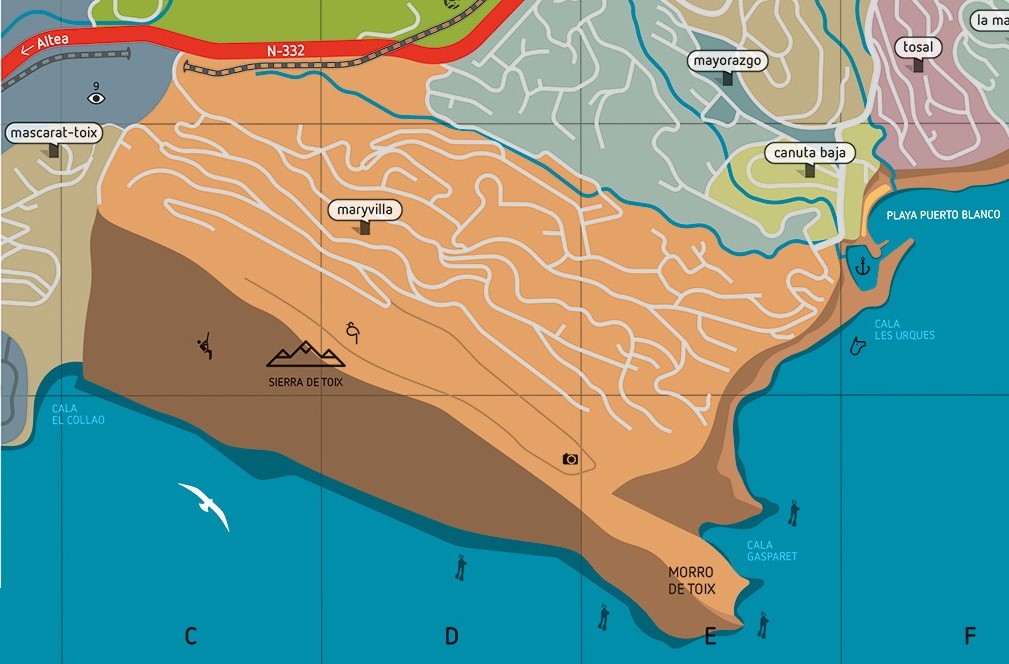
The Morro de Toix is the end of the Sierra de Bernia mountain chain at the sea, and the natural boundary between the Marina Alta and Marina Baja regions.
From the north side, there is a beautiful panoramic view of the town of Calpe, as well as the bay of Moraira, the Cumbre del Sol in Benitachell, the Montgó Natural Park, and even, on clear days, the island of Ibiza.
On the south side, we can see the Marina Greenwich yachting harbour, the beautiful town of Altea, and the skyscrapers of the nearby town of Benidorm. Inland, we can see the Puig Campana, the Ponoig mountain chain and the greenhouses of Callosa d'en Sarrià.
The parking area where the ascent to the Mirador de Toix begins can be accesed either by the N-332 road through the access to Maryvilla housing development, or by going up the labyrinthine roads of the Maryvilla housing development from Puerto Blanco.
The spot where we will leave our vehicle is as follows:
On busy days, you may have to park your vehicle earlier, as the parking space is quite small and narrow.
From this spot, you will have to ascend for about 10 minutes on foot, and will arrive at the well-known Mirador de Toix. You can continue walking towards the antennas, which would take about 20 minutes more. It is a linear path, with no difficulty, except for the initial slope, which is a little steep.
In this area, you can also practice climbing, scuba diving routes, and birdwatching. There are also the Gasparet and Collao or Racó del Corb coves, accessible only by sea.


